





Missions
Measure the stratosphere. Fly the instrument home.
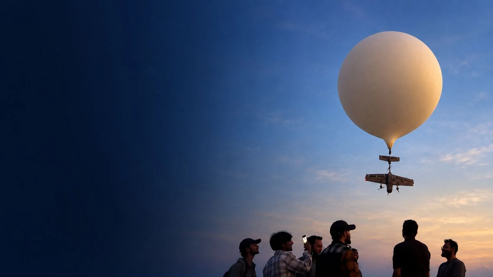
SAAV rides a weather balloon to 30 km, profiles the atmosphere, then flies itself home.
Flight record
- Launches
- 108+
- Launch sites
- 14
- Highest altitude reached
- 30 km
- Customers served
- 6
Including 30 customer-facing trial launches. Figures as of 5 May 2026.
One flight, four phases
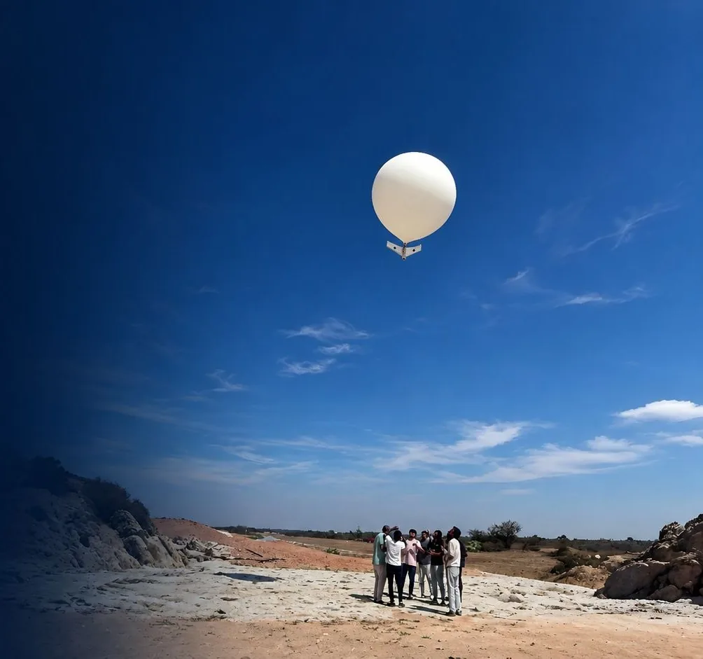
Balloon ascent
Weather readings stream live to the ground station as the balloon climbs. Release is planned below the 30 km ceiling.
Release
Triggered at a planned time or altitude, or by command from the ground.
Guided return
Satellite navigation steers the aircraft back, gliding and under power, from up to 50 km away.
Recovery
An automated approach and landing at the recovery site. The team inspects it and it flies again.
Where the flight happens
Weather forms in the troposphere. Above it, in the stratosphere, the air warms with height as ozone absorbs sunlight. SAAV samples both on the way up.
| Altitude | Temperature | Layer |
|---|---|---|
| 0 km | 15.0 °C | Troposphere |
| 5 km | −17.5 °C | Troposphere |
| 10 km | −50.0 °C | Troposphere |
| 15 km | −56.5 °C | Stratosphere |
| 20 km | −56.5 °C | Stratosphere |
| 25 km | −51.5 °C | Stratosphere |
| 30 km | −46.5 °C | Stratosphere |
| 35 km | −36.1 °C | Stratosphere |
| 40 km | −22.1 °C | Stratosphere |
| 45 km | −8.1 °C | Stratosphere |
| 50 km | −2.5 °C | Stratosphere |
Most weather instruments fly once
The U.S. National Weather Service launches radiosondes from 92 stations twice a day and does not ask for them back. Recovering the instrument means the next profile comes from the same sensor, checked and recalibrated between flights.
- Radiosondes flown each year in the NWS network
- 76,000
- Upper-air stations launching worldwide
- 800+
Source: National Weather Service upper-air program.
SAAV, the recoverable weather aircraft
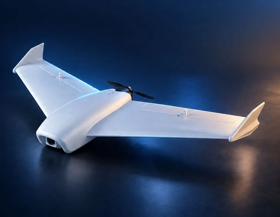
Stratospheric Autonomous Aerial Vehicle, in its meteorological configuration: a fixed-wing aircraft carried aloft by a balloon, with a modular weather payload.
Full specifications
Airframe
- Airframe
- Carbon-fibre composite flying wing
- Cruise speed
- 18-26 m/s
- Propulsion
- Electric, glides and flies under power
- Energy
- Rechargeable, field-swappable battery
Avionics
- Flight control
- Kalam Labs flight stack and firmware
- Navigation
- Satellite guidance with redundant inertial sensing
- Weather sensors
- Temperature, humidity, pressure and air quality
Link and data
- Radio
- 2.4 GHz command and telemetry link
- Outputs
- CSV and MAVLink
- Ground station
- Trajectory, attitude and live weather data
Data you can check
What comes back
- Timestamped flight and weather records for every mission
- CSV and MAVLink export, with full trajectory reconstruction
- Telemetry at 10 Hz attitude, 5 Hz GNSS position and 2 Hz altimeter
Telemetry rates, not sensor sampling rates.
What it measures
- Pressure
- Profiled through the full ascent
- Temperature
- Surface to release altitude
- Humidity
- Relative humidity with each reading
- Air quality
- Gas-sensor AQI readings
We recommend qualifying the full sensor stack for each campaign: reference comparisons before and after flight, pressure and temperature exposure tests, and checks for response time, solar heating and mounting bias.
A flight lab for university courses
SAAV comes as a six-lab course module. Students define a weather question, fly it, recover the aircraft and analyse the data.
- Mission definition
- Choose a weather question and a flight envelope.
- Payload integration
- Mount sensors, weigh the assembly and check the centre of gravity.
- Sensor calibration
- Compare against references and measure sensor response.
- Avionics and data
- Inspect telemetry, clocks and missing packets.
- Supervised flight
- Measure the recovery track and the actual energy reserve.
- Scientific analysis
- Compare repeat flights with the model and report uncertainty.
Payload headroom: 60-80 g on top of the 40 g weather stack.
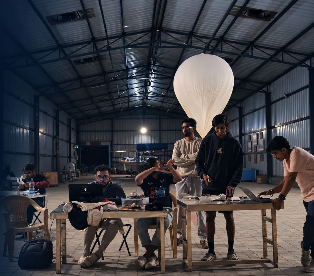
Mission log
Dated flights with published results.
July 2025
Extended radiosonde field trials
Deployments at 8,001 m and 8,546 m, including a 116-minute loiter with 60% of the battery in reserve and on-command station keeping.
June 2025
High-altitude autonomous UAV flight
A sub-4 kg aircraft launched from 2,700 m in the mountains climbed to 9,790 m above sea level, through +20 to −60 °C and winds up to 50 km/h, then landed within a metre of its target.
March 2025
Supervised meteorological trials
Retrieval flights at 5, 6 and 8 km verified autonomous deployment and recovery, down to −45 °C and in 35-70 km/h winds.
Contact
Talk to the Team
Questions about the retrievable radiosonde, our flight systems or a research collaboration? Call us.