



We’re Hiring!

Join our team and help build meaningful digital products.

VIEW OPEN ROLES
logo
linkedininstagramtwitter
Loading video...

Near Space Science at 100,000+ Ft

Full-stack platform for flying reusable instruments and aerial vehicles at the edge of space
Altitude:-  100,000+ ft
Temperature:-  −70°C
Pressure:- 1 kPa
Y Combinator
Lightspeed
Y Combinator
Lightspeed
Y Combinator
Lightspeed
Y Combinator
Lightspeed
Y Combinator
Lightspeed
Y Combinator
Lightspeed
Loading video...

Science Missions From

100,000+ Ft

Kalam Labs' patented hydrogen lighter-than-air deployment carries aircraft and instruments 10x higher than conventional UAVs, to the edge of space.

Platforms for Upper-Atmosphere Science

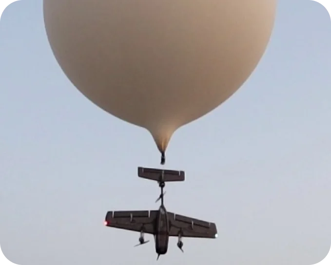
Retrievable Radiosonde

Reusable upper-air weather platform

  • Rides a weather balloon up, then flies itself home
  • Streams temperature, humidity and pressure live
  • Reusable, unlike single-use radiosondes

Over 80% of the 600,000 radiosondes launched each year are lost.

Retrievable Radiosonde

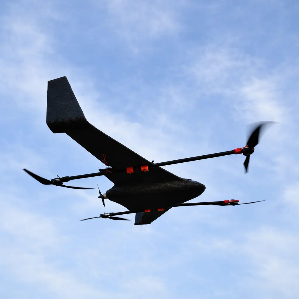
High-Altitude Imaging UAV

Long-endurance Earth observation from 50,000+ ft

  • Loiters above commercial air traffic at 50,000+ ft
  • AI-enabled electro-optical and infrared imaging
  • VTOL landing in extreme high winds

Tested in rugged high-altitude mountain terrain

High-Altitude Imaging UAV

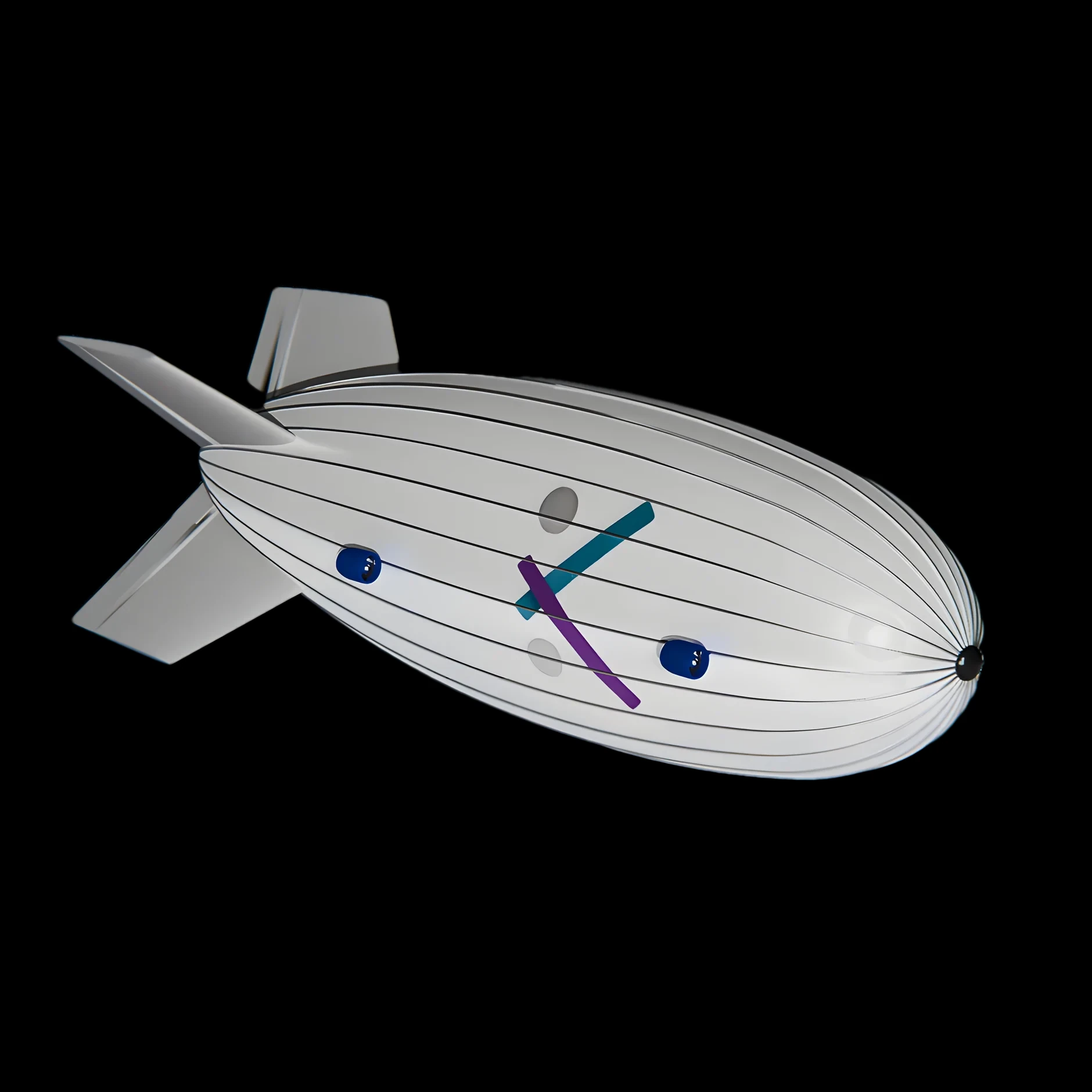
Stratospheric Airship

A persistent platform hovering at 50,000+ ft

  • Powered by hydrogen fuel cells and solar batteries
  • Carries up to 100 kg of sensors and instruments
  • Built for long-duration observation
Stratospheric Airship

Built In-House - Flown to Near Space

Kalam Labs is a team of crazy young engineers obsessed with pushing the boundaries of flight at the edge of space.

We have in-house end-to-end airplane manufacturing, a leased airstrip, and a cool hangar filled with insane aerial inventions and toys.

Join Us to Open the Upper Atmosphere to Science :)

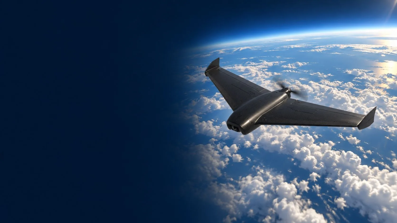
The SAAV aircraft flying above the clouds with the curve of the Earth behind it

Meet SAAV

A 480 g recoverable weather aircraft. It rides a balloon to 30 km, profiles the atmosphere on the way up, then flies up to 50 km back to its landing site.

See the mission profile

Next in the stratosphere

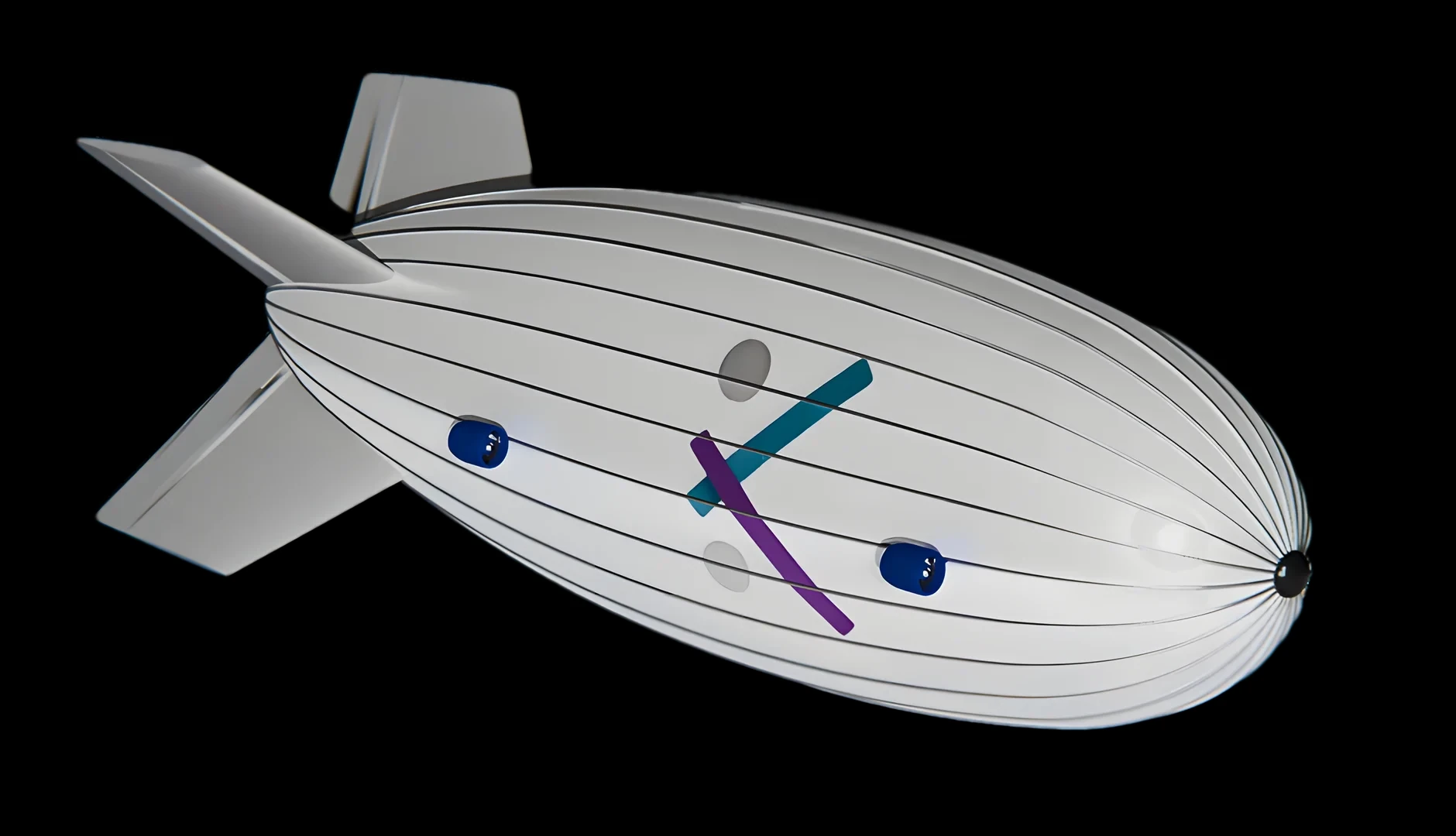
Render of the Kalam Labs stratospheric airship

In development

Stratospheric Long-Endurance Airship

A station-keeping platform designed to hover above the weather for months at a time, carrying instruments for long-duration observation.

Operating altitude
50,000+ ft
Instrument payload
100 kg
Endurance target
7 months
Fuel cells and solar batteries
Hydrogen + solar

Science at the Edge of Space

From weather to air quality, our platforms carry instruments into the upper atmosphere and bring the data home.

  • Weather Forecasting

    Live temperature, humidity and pressure profiles, streamed during ascent.

    Standard-atmosphere reference: 15 °C at the surface, −56.5 °C from 11 to 20 km, and −46.5 °C at 30 km, where pressure is about 12 hPa.

    Reference values: U.S. Standard Atmosphere, 1976

  • Atmospheric Research

    Repeat soundings with the same instrument. It flies itself home after every flight, so each profile comes from a sensor you have already checked.

  • Air-Quality Profiling

    Onboard gas sensing adds air-quality (AQI) readings to every profile.

  • Disaster Forecasting

    Lower-cost, recoverable soundings for monitoring fast-changing conditions.

  • The curve of the Earth seen from a balloon flight at the edge of space

    Near-Space Imaging

    Optional 4K camera for balloon-burst observation, terrain reconstruction and post-flight review.

  • Flight Data

    High-fidelity flight logs from every mission, ready for analysis and model training.

    Sample log format: time, altitude, temperature, pressure

Proven in Flight

Results from supervised 2025 flight trials of the retrievable radiosonde.

Deployment altitude reached in field trials
8.5 km
Longest loiter, with 60% battery in reserve
116 min
Cold resilience demonstrated in flight
−45 °C
Line-of-sight radio link proven
32 km
  • Autonomous deployment and retrieval verified
  • Wind handling validated at 35-70 km/h
  • Barometric altitude estimates matched reference instrumentation
Read the mission log

Built for the U.S. upper-air network

Each dot is an active U.S. upper-air station. Across the National Weather Service network, radiosondes go up twice a day and are not expected to come back. A retrievable radiosonde records the same kind of profile and flies home.

Map of the United States with 90 active upper-air stations spread across every region, including 13 in Alaska
Active stations shown
90
Launches per station, per day
2

Station locations: NOAA Integrated Global Radiosonde Archive (IGRA v2), U.S. stations reporting in 2026. Puerto Rico and Pacific island stations are not shown. Launch schedule: National Weather Service.

In-house developed Full Stack for Stratospheric Missions

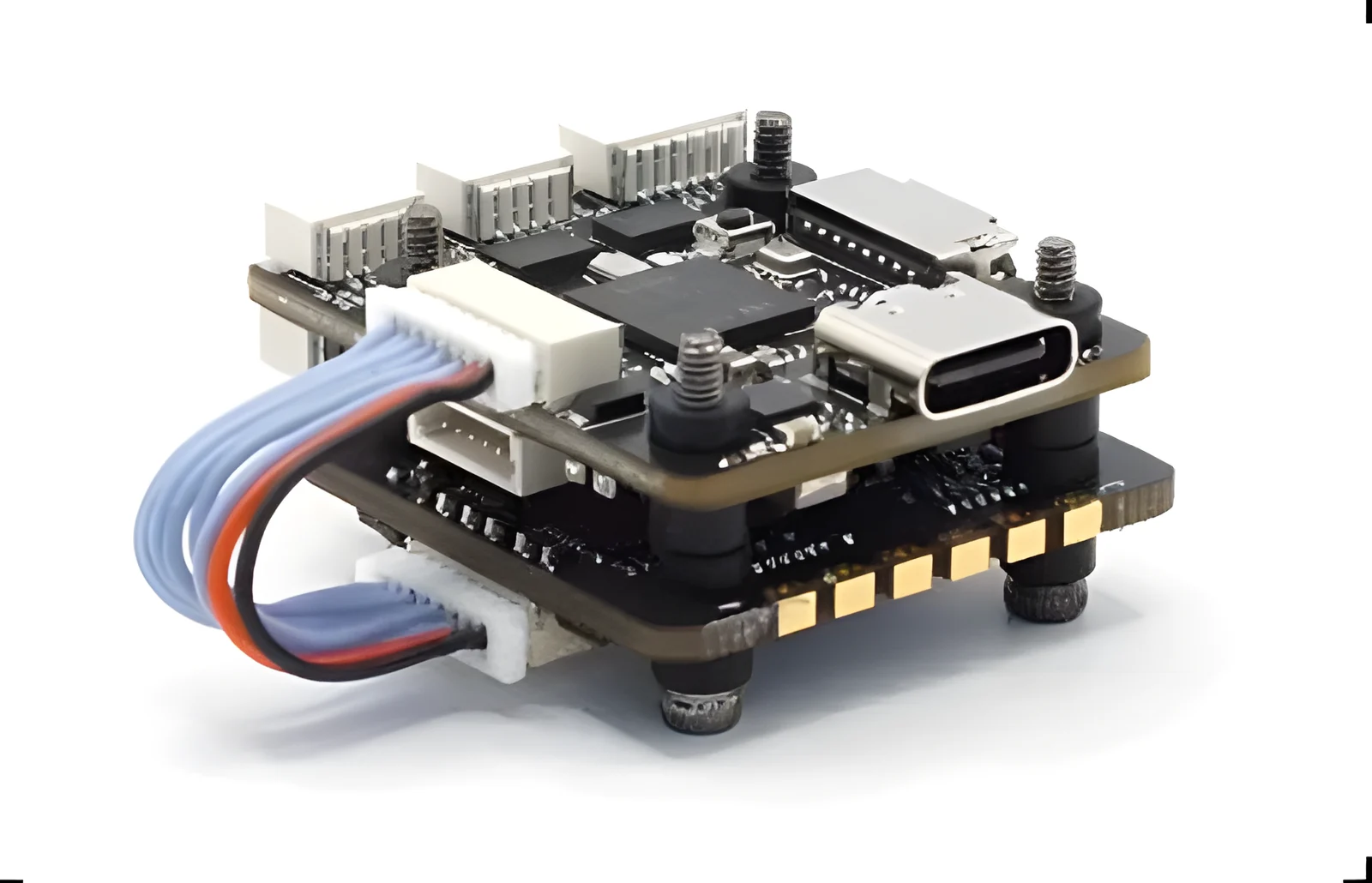
Custom Flight Controller, in-house firmware

  • Near-space altitudes present unique challenges for flight electronics, and conventional flight controllers can't be deployed. Kalam Labs built a custom flight controller for the job.
Custom Flight Controller, in-house firmware

About Founders

Built From College Dorm Rooms

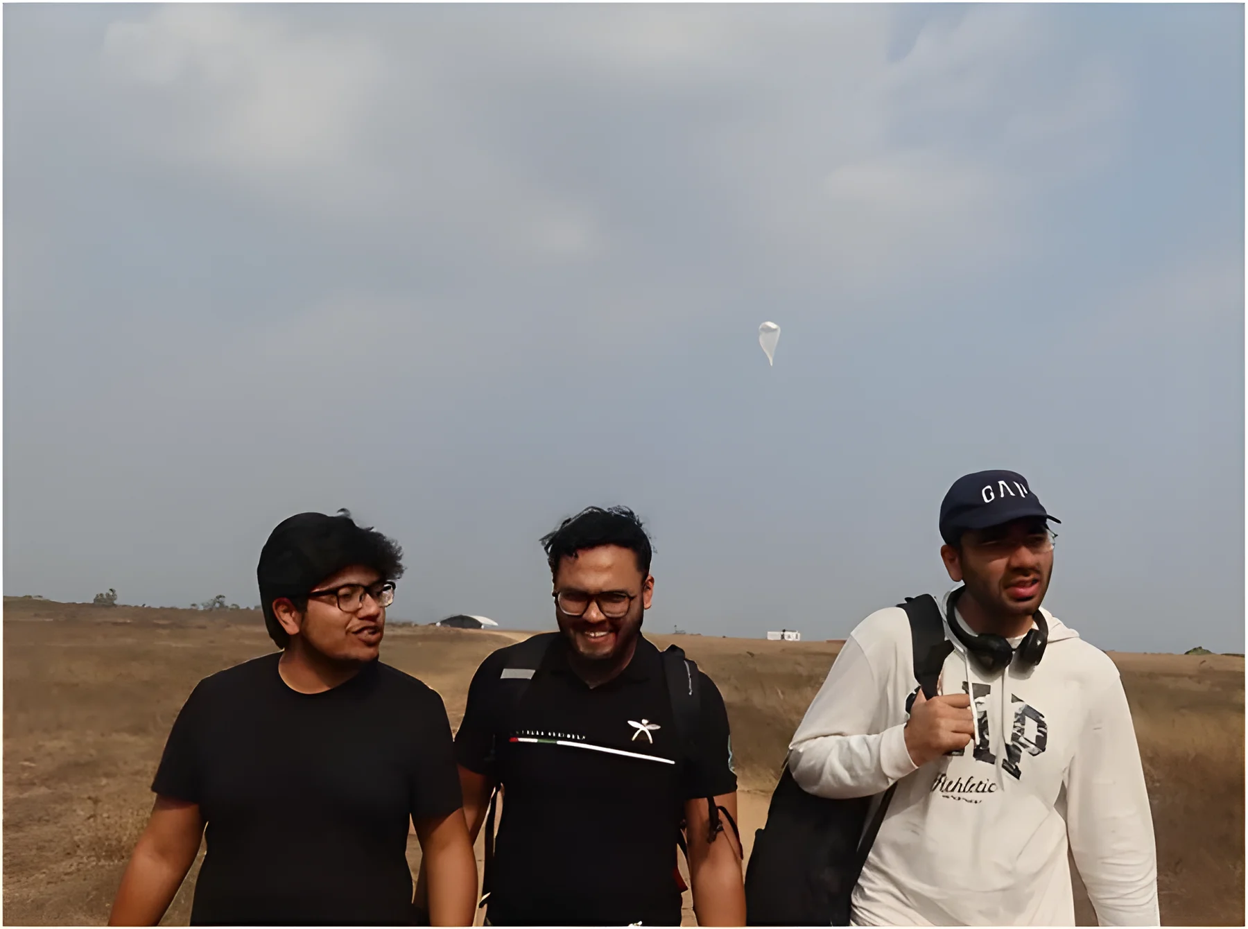
Founders of Kalam Labs : Harshit, Sashakt, Faraaz

Founded by Faraaz, Harshit, Sashakt

Kalam Labs is a Stratospheric Aerial Research Lab. We are inventing technology that makes the upper atmosphere easier, cheaper and more repeatable to study.

Kalam Labs already has its own manufacturing facility and a 15-member aerospace team, ready to pull in sleepless nights to push flight higher.

What the Media Says About Us

Coverage of our flights, our team and our backers.

Contact

Talk to the Team

Questions about the retrievable radiosonde, our flight systems or a research collaboration? Call us.